

 Menu
Menu

 Search

- News

- Economy

- Central Banks
- Investing
- Research
- Roundups
- Digital Currency
- Insights
- Technical Analysis
- Technology
- Business
- Law
- Health
- Nature
- Fintech
- Science
- Topic
- Opinions
- ©Econometrics LLC . All Rights Reserved.

Su Ye
Postdoctoral researcher in environment and remote sensing, University of Connecticut
Su Ye is a postdoctoral researcher with expertise in satellite data analysis and disaster mapping. He is part of the Global Environmental Remote Sensing Lab at UConn, which seeks to understand how the world is changing based on quantitative remote sensing. The lab uses a variety of remote sensing sensors, such as drones, small satellites, Landsat, Sentinel-2, MODIS, VIIRS, LIDAR, and radar to monitor environmental change at regional to global scales.
Oct 11, 2022 04:37 am UTC| Technology Nature
Hurricane Ian left an extraordinarily broad path of destruction across much of South Florida. That was evident in reports from the ground, but it also shows up in satellite data. Using a new method, our team of spatial and...

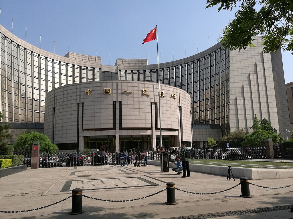
China Extends Gold Buying Streak as Reserves Surge Despite Volatile Prices
Trump Lifts 25% Tariff on Indian Goods in Strategic U.S.–India Trade and Energy Deal

Trump Signs Executive Order Threatening 25% Tariffs on Countries Trading With Iran

U.S.-India Trade Framework Signals Major Shift in Tariffs, Energy, and Supply Chains

Dow Hits 50,000 as U.S. Stocks Stage Strong Rebound Amid AI Volatility


New York Legalizes Medical Aid in Dying for Terminally Ill Patients

Trump Says “Very Good Talks” Underway on Russia-Ukraine War as Peace Efforts Continue

China Warns US Arms Sales to Taiwan Could Disrupt Trump’s Planned Visit

Trump Allows Commercial Fishing in Protected New England Waters

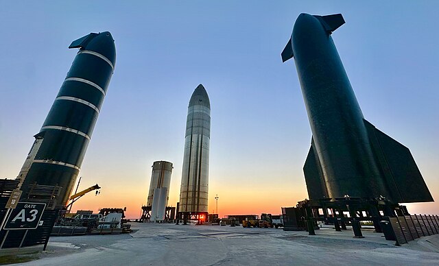
SpaceX Prioritizes Moon Mission Before Mars as Starship Development Accelerates
NASA and SpaceX Target Crew-11 Undocking From ISS Amid Medical Concern

Neuralink Plans High-Volume Brain Implant Production and Fully Automated Surgery by 2026

Jared Isaacman Confirmed as NASA Administrator, Becomes 15th Leader of U.S. Space Agency
Senate Sets December 8 Vote on Trump’s NASA Nominee Jared Isaacman
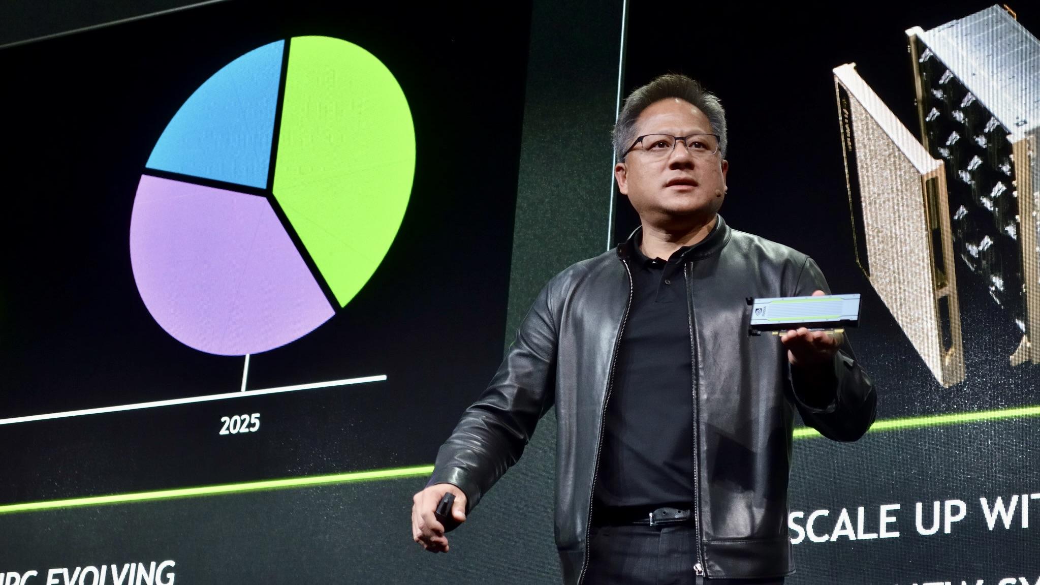
Nvidia CEO Jensen Huang Says AI Investment Boom Is Just Beginning as NVDA Shares Surge
Amazon Stock Rebounds After Earnings as $200B Capex Plan Sparks AI Spending Debate

Global PC Makers Eye Chinese Memory Chip Suppliers Amid Ongoing Supply Crunch

OpenAI Expands Enterprise AI Strategy With Major Hiring Push Ahead of New Business Offering

SoftBank Shares Slide After Arm Earnings Miss Fuels Tech Stock Sell-Off


- Market Data


